

Lion Rock is the 52nd highest mountain in HongKong and boast a peak of 495m in height. It lies in between “New Territories” and “Kowloon”. The location of Lion Rock makes it one of the more easily accessible mountain hikes for tourists and locals alike. Much renovation work has been done to ensure the trails and routes are maintained and this provides an easy path to the peak without the need of climbing gear or special equipment. Looking back, hiking up Lion Rock will definitely be one of the recommended activities to do while in Hong Kong. It is not very tough, yet it gives you a great sense of achievement once you reach the top.
Best Time to do the Hike
As most of the routes are covered with trees, anytime of the year would do fine. The best time would be still in the winter as the weather would be cooling and you will not feel the humidity while hiking.
We started the hike at around 10 a.m., reaching the peak at about 12.30 p.m. We did not manage to take a lot photographs as the sun was shinning against us. In retrospect, I think the best time to start the hike would be at around 12 noon and reach the peak at about 1.30 p.m to 2 p.m. This would allow the sun to be behind you when you take those awesome panoramic shots. Sunset view would be nice too but you would have to bring a torch as it gets dark very quickly after the sun set. More importantly, no lamp posts were spotted along the hiking trail. So you wouldn’t want to stay too late.
Getting there
The MTR station to alight is “Wong Tai Sin” which is along the green line. 4 station away from Mong Kok.

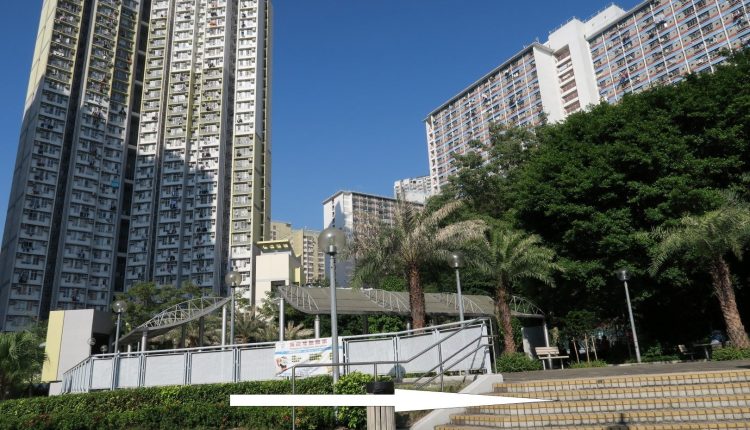
Take the Exit B2 from the MTR station. Look to the right and you’ll see a flight of stairs.
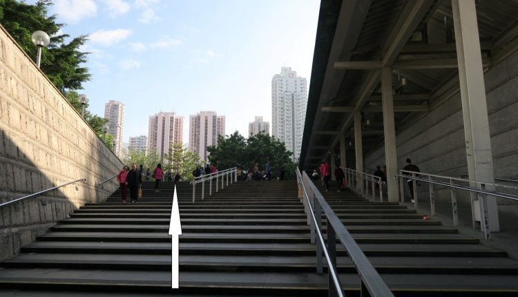
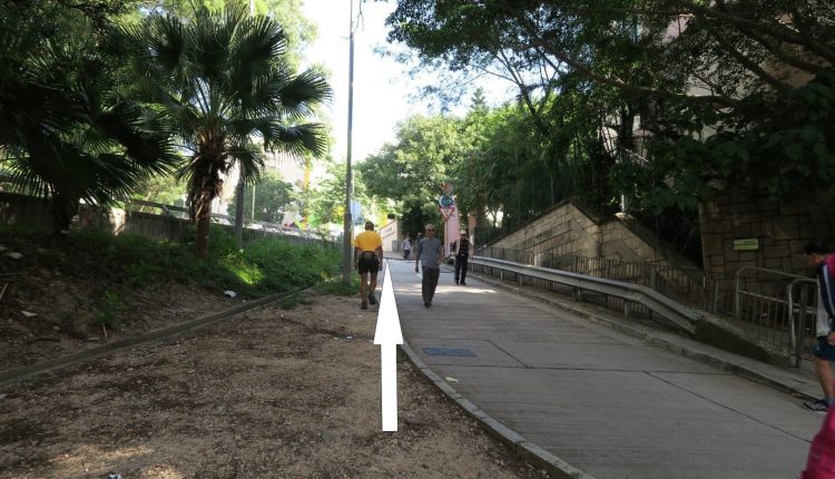
Head up the stairs and turn left. Walk along Wong Tai Sin temple’s wall and you will see a bus interchange at the front.
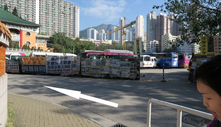
Continue to walk along the temple’s wall.
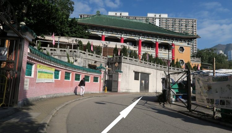
At the end of the temple’s wall, there was a notice stating that construction works are in progress. If you are reading this after a year or 2, it might be faster if you could walk through the construction works, assuming the works has been completed. If not, turn left to walk up the staircase.
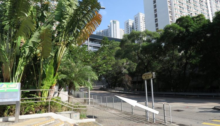
Turn left at the end of the staircase and continue to walk straight until you see a mini park.
Turn right at the park to “Nga Chuk St“
Continue to walk along the road.
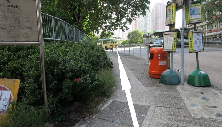
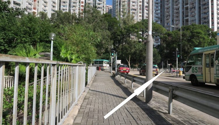

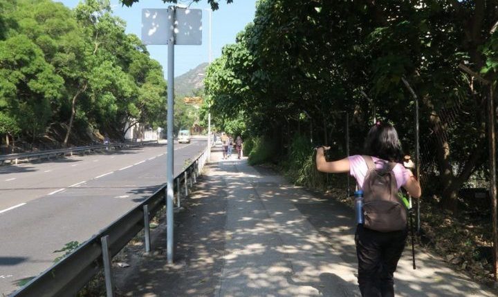
Turn right at the T-Junction to the start of “Sha Tin Pass“
Sha Tin pass is a long stretch of uphill road to the entrance of Lion Rock. When we reached the pass, Marilynn was already complaining and wanted to turn back.
Once you reached the top of Sha Tin Pass, congratulations! You completed your warm up for the hike later on.
If you would like to skip Sha Tin Pass Road, you can take mini-bus 73 from the mini park we saw earlier to the top of Sha Tin Pass.
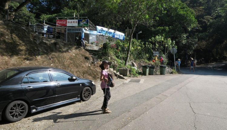
Sha Tin Pass
At the top of Sha Tin pass, you will see Fat Jong Temple on your left. Proceed right to walk up to the entrance of Lion Rock.
It will take another 30 minutes to reach the entrance of Lion Rock. So do enjoy the walk up and you will start noticing elderly folks pushing trolleys of empty bottles up. We realized that they were collection spring water at the top of the pass.
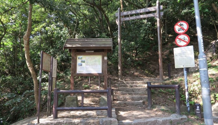
After hiking up the road, you will come across the entrance of Lion Rock. Before you proceed inside, look behind you and proceed upwards for toilet break and some yummy bean curd!
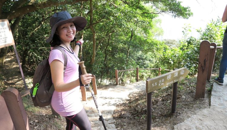
Once ready, head back to the entrance and the hike begins!
Toilet Break
If you need a toilet along the hike, bad news, there are no toilets along the hiking trail. You can try doing it in the wild. 😉 The nearest one would be at the start of the trail and the next would be at the foot of the mountain in Lion Rock Park.
Lion Rock
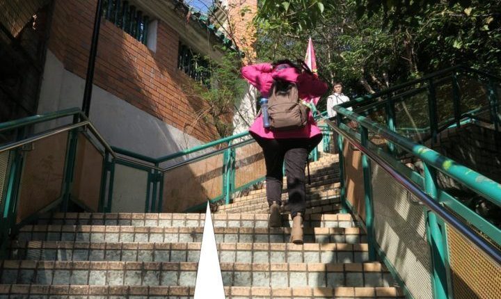
Lion Rock Trail is pretty easy to hike and there wasn’t much intersections where you have to decide to go right or left. You just need to keep walking straight and enjoy the view along the way.
After about an hour or so, the most important marker you need to look out for is the sign which reads “Lion’s Rock Peak”. Turn left and head towards Lion Rock. If you decide to head straight, you would be going around Lion Rock and you would miss all the nice scenery.
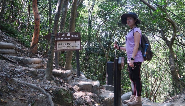
Turning left, is long flight of steps which will take you about 30 minutes to climb up. At this point, do not give up!!
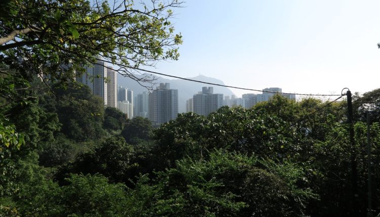
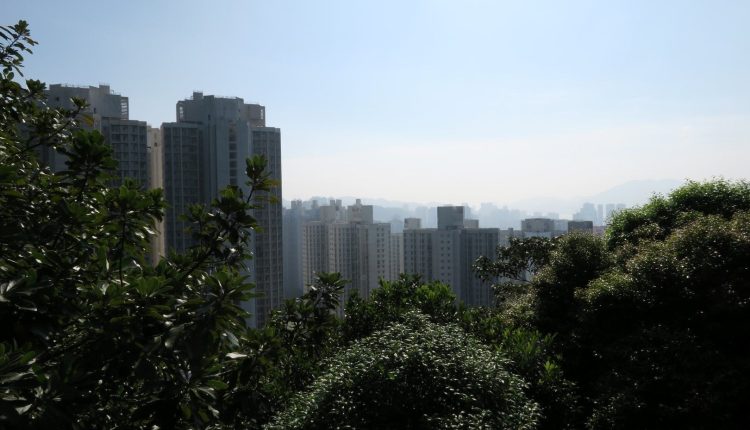
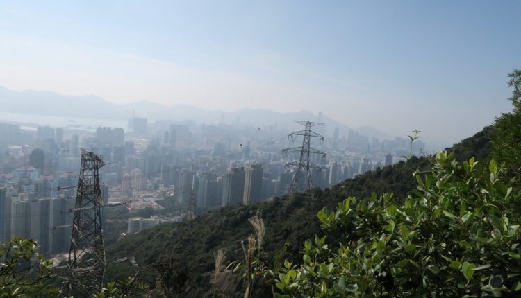
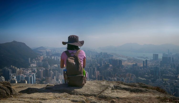
Once at the top, you will be treated to a million dollar bird’s eye view of Kowloon city.


Lion’s Rock Rock
The pinnacle of the hike is to see a rock that is shape like a lion. This was what we saw.
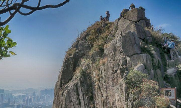
How does this look like a lion? Hmmm… the answer is that we were looking at the wrong side of the rock. HAHAHAHAH! We only realized it after reading from Wikipedia that west side of the rock looks like a lion. We were looking at the east side as we came from Sha Tin Pass.
Click here to see the Wikipedia photo.
Heading down
After 2 hours of hiking and about 30 minutes of photo-taking, we were ready to head down the mountain.
The road down was easy and straight forward. As it was already close to 2 p.m., we were hungry and decided to quicken our pace.
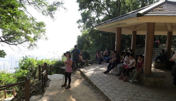
While descending, you would come across a red pavilion. Head to the route on your left. At this point, you should be halfway down. From here, the well-maintained path makes walking relatively relaxing and easy.
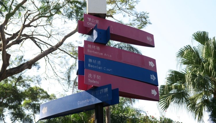
It takes about 30 to 45 minutes to walk down the mountain. At the end, we reached Lion Rock Park Community Ground. Finally, toilet!
Heading back to MTR
After a good short rest, it was time to head back to the MTR. Using Google Maps, you should be able to find your way back. If not, click here to view the direction.
Afterword
If you are heading to Hong Kong and want to try hiking this mountain, do bookmark our page and drop us a “Like” on our Facebook page.
Click here to see the Google Map of Our Route.
Feel free to drop your comments and we will be happy answer them too. 🙂
Happy hiking!
Comments are closed.